Результаты анализа
ИИ выбрал наиболее вероятные локации на основе изображения, видимых деталей и контекстных признаков.
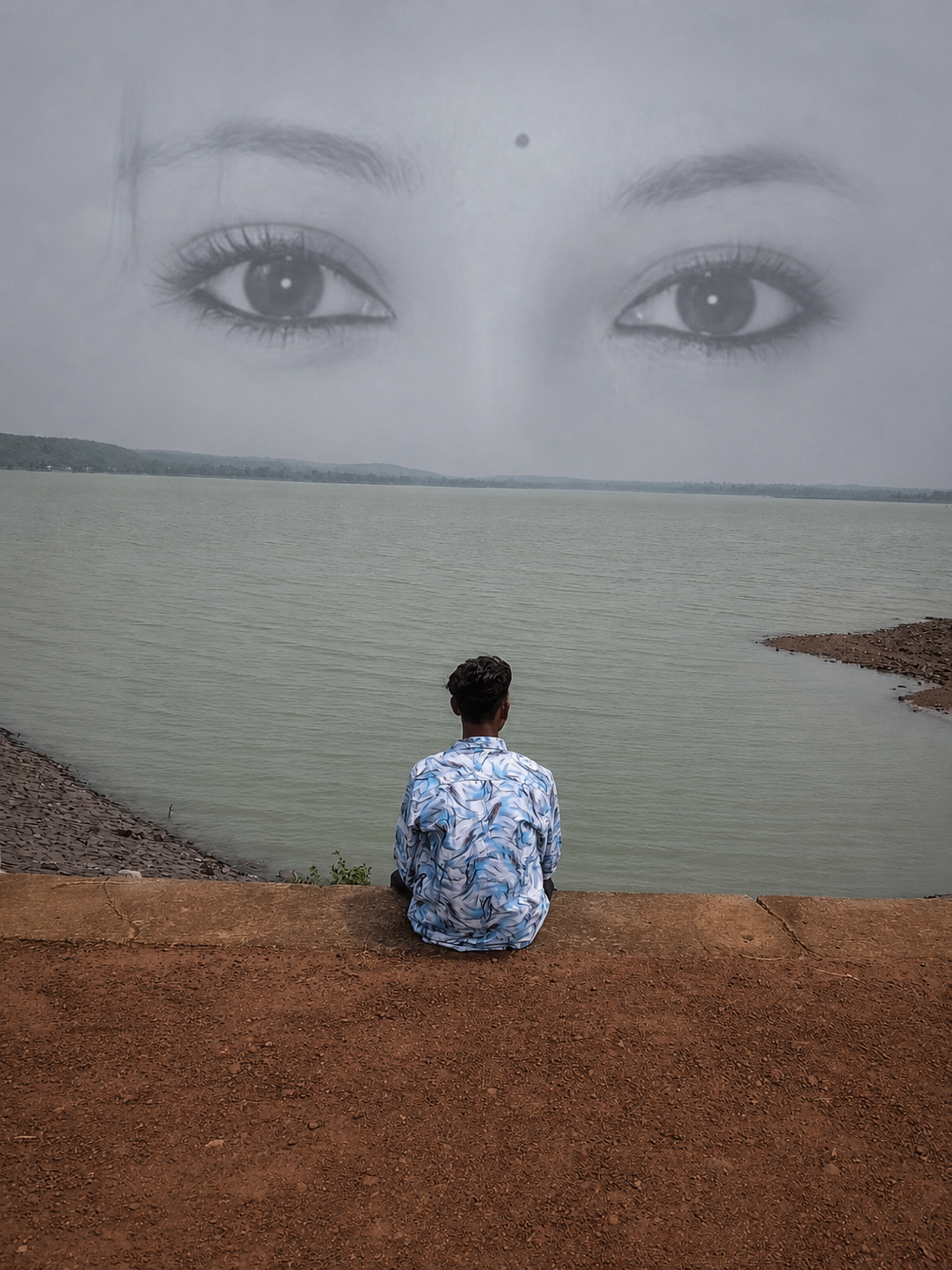
The third image clearly shows a Google Street View location named 'Jewartala - Dongargaon Rd' with tropical vegetation and red soil typical of central India. The red soil and vegetation match the environment seen in the first two images.
The presence of a large water body and rural landscape in the first two images aligns with the rural setting of Dongargaon Road area. This is the most precise and confirmed location based on visible evidence.
The water reservoir with red soil and tropical vegetation is typical of the Dongargaon area in Chhattisgarh, India. This candidate is a broader district-level guess around the reservoir near Jewartala - Dongargaon Road, matching the environment and terrain.
The water reservoir with red soil and tropical vegetation is typical of the Dongargaon area in Chhattisgarh, India. This candidate is a broader district-level guess around the reservoir near Jewartala - Dongargaon Road, matching the environment and terrain.
🗺 На карте
 высокая уверенность
•
высокая уверенность
•
 средняя
•
средняя
•
 низкая
Как ИИ сделал вывод
Окружение
Red soil, rural, water body nearby • Tropical trees and bushes • Likely tropical monsoon • Water reservoir, red soil • Tropical trees • Tropical monsoon
Инфраструктура
None visible • Google Street View label • Rural huts and small buildings
Текст и таблички
Jewartala - Dongargaon Rd
Контекст и культура
None visible