Analysis Results
The AI selected the most likely locations based on the image, visible details, and contextual clues.
The AI matched architectural patterns, shadow geometry, and natural light distribution against regional location signatures to identify the most probable area.
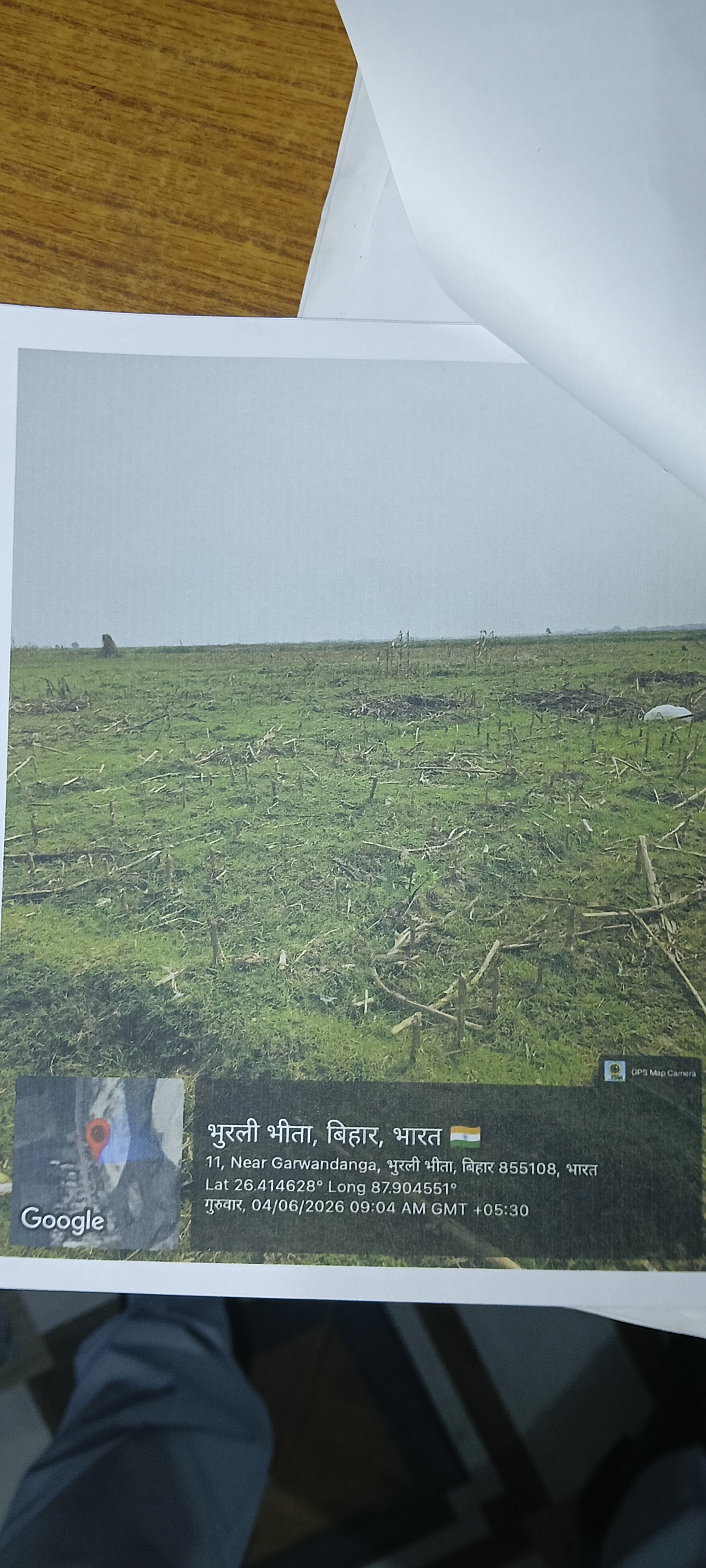
A broader district-level coordinate in Bhurli Bhita, Bihar, India, matching the general flat agricultural landscape and climate visible in the image. This is a fallback option if exact coordinates are disregarded.
🗺 On the map
 высокая уверенность
•
высокая уверенность
•
 средняя
•
средняя
•
 низкая
How the AI made its decision
Environment
Flat agricultural field • Sparse crop stubble and grass • Likely subtropical, humid • Agricultural plains • Sparse crops • Subtropical
Infrastructure
None visible • None
Visible text and signs
भुरली भीता, बिहार, भारत • 11, Near Garwandanga, भुरली भीता, बिहार 855108, भारत • Lat 26.414628° Long 87.904551° • गुरुवार, 04/06/2026 09:04 AM GMT +05:30
Context and culture
None visible • N/A • None