Analysis Results
The AI selected the most likely locations based on the image, visible details, and contextual clues.
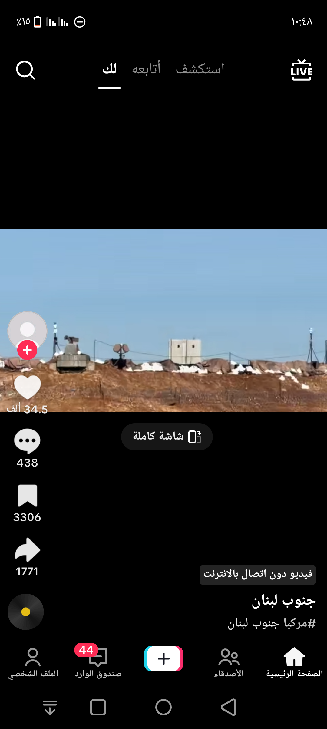
The Arabic text in the image explicitly mentions 'South Lebanon' and 'America South Lebanon'. The visible military fortifications, sandbags, and surveillance equipment strongly suggest a border or conflict zone.
South Lebanon, near the Israel-Lebanon border, is known for such military installations. The terrain and clear sky also match the typical environment of southern Lebanon.
Another location in South Lebanon near the border with Israel with similar military fortifications and terrain. The image context and text support a southern Lebanon location but exact pinpointing is difficult without more landmarks.
Another location in South Lebanon near the border with Israel with similar military fortifications and terrain. The image context and text support a southern Lebanon location but exact pinpointing is difficult without more landmarks.
🗺 On the map
 высокая уверенность
•
высокая уверенность
•
 средняя
•
средняя
•
 низкая
How the AI made its decision
Environment
Dry, rocky embankment • Sparse or none visible • Mediterranean dry • Dry, rocky • Sparse
Infrastructure
None visible • Military fortifications, sandbags, surveillance towers • Military fortifications
Visible text and signs
جنوب لبنان • #امركيا جنوب لبنان • فيديو دون اتصال بالإنترنت
Context and culture
None visible