Analysis Results
The AI selected the most likely locations based on the image, visible details, and contextual clues.
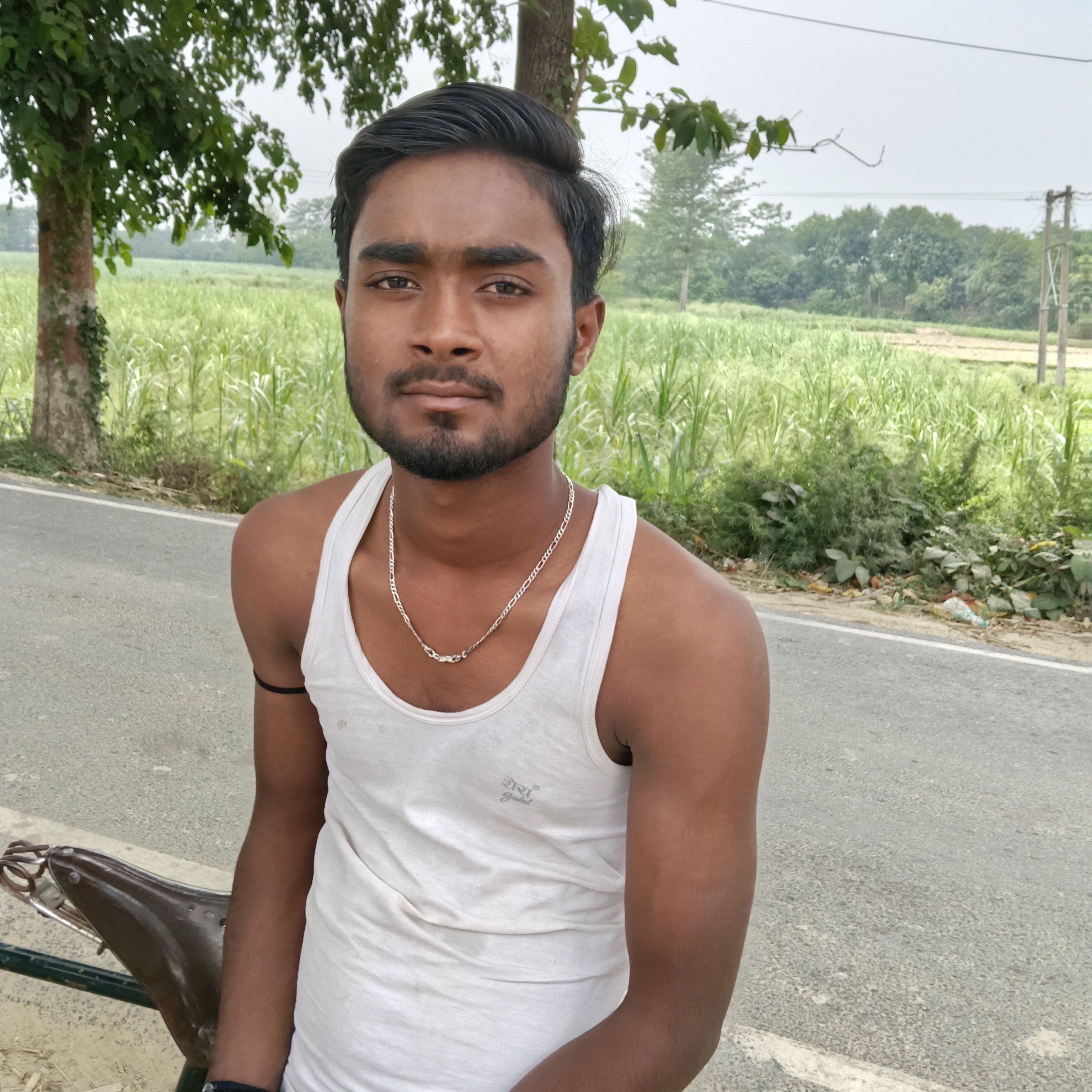
The Hindi text on the vest and the agricultural landscape with tropical vegetation suggest northern India. The road and roadside vegetation are consistent with rural areas in the Indo-Gangetic plain.
Lucknow district in Uttar Pradesh is a representative area matching these features. Similar rural environment with agricultural fields and road infrastructure found in Patna district, Bihar state, India.
Hindi script and vegetation match this region as well. The rural outskirts of Delhi have similar road and vegetation patterns, and Hindi text is common.
This is a less likely but plausible alternative given the visible evidence.
Similar rural environment with agricultural fields and road infrastructure found in Patna district, Bihar state, India. Hindi script and vegetation match this region as well.
The rural outskirts of Delhi have similar road and vegetation patterns, and Hindi text is common. This is a less likely but plausible alternative given the visible evidence.
🗺 On the map
 высокая уверенность
•
высокая уверенность
•
 средняя
•
средняя
•
 низкая
How the AI made its decision
Environment
flat agricultural fields • green crops, scattered trees • subtropical, humid • flat farmland • green crops, trees • subtropical • flat agricultural land • crops and scattered trees
Infrastructure
single white edge line • none visible
Visible text and signs
शेरा
Context and culture
bicycle saddle visible