Результаты анализа
ИИ выбрал наиболее вероятные локации на основе изображения, видимых деталей и контекстных признаков.
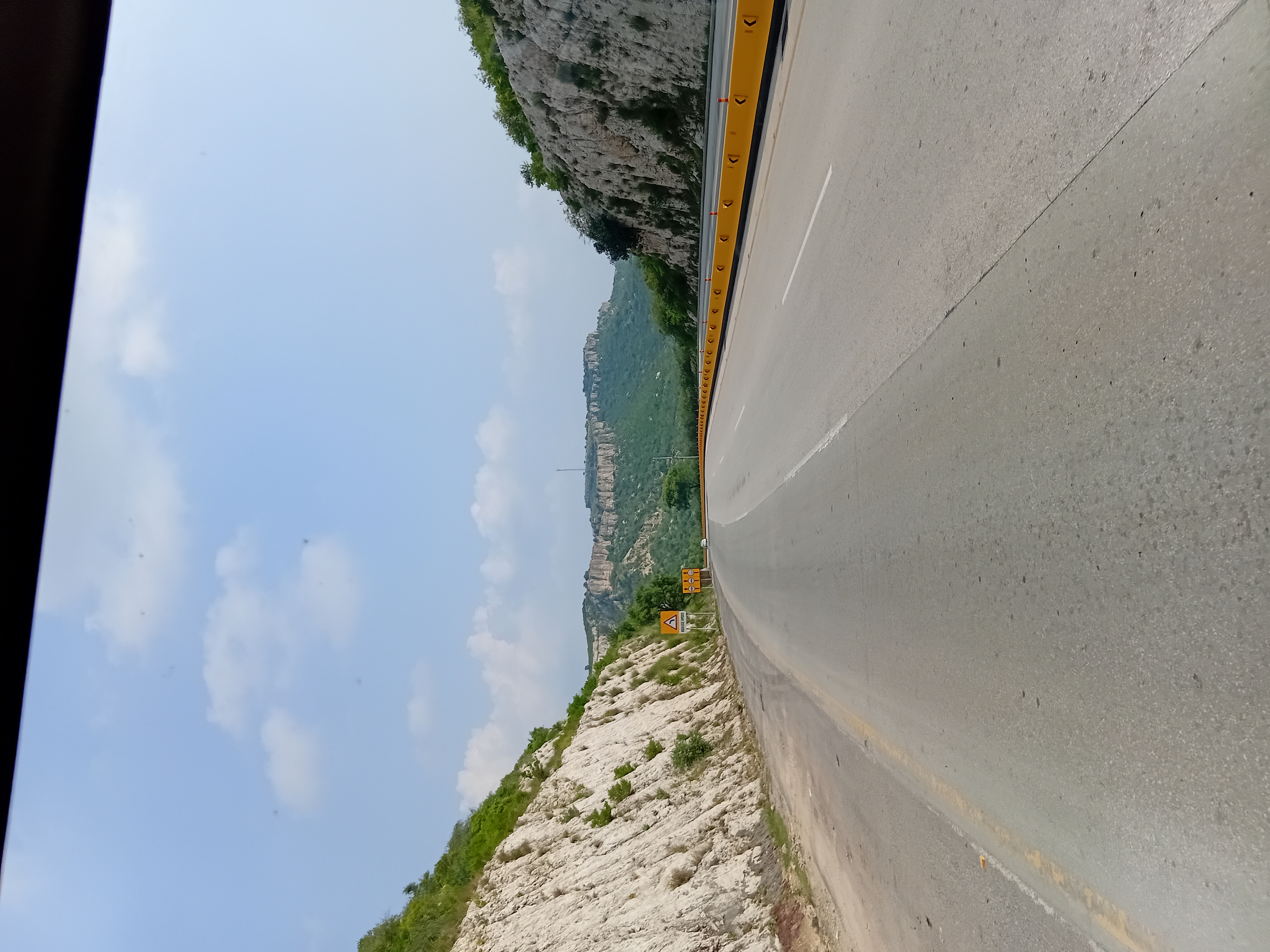
The road cutting through rocky hills with yellow median barriers and the style of road signs are consistent with highways in Pakistan. The terrain and vegetation suggest a semi-arid region with rocky outcrops, typical of the Margalla Hills area near Islamabad.
The road layout and signage closely match those used on the Islamabad-Lahore motorway (M2) or nearby highways. The road and terrain are similar to those found in northern India near Chandigarh, where rocky hills and semi-arid vegetation are common.
The road infrastructure and signage style are somewhat similar but less typical than in Pakistan, lowering confidence. The rocky terrain and semi-arid vegetation could match parts of southern California or southwestern US.
However, the road signage style and median barrier color are less typical for the US, reducing confidence. This is a less likely but possible alternative.
The road and terrain are similar to those found in northern India near Chandigarh, where rocky hills and semi-arid vegetation are common. The road infrastructure and signage style are somewhat similar but less typical than in Pakistan, lowering confidence.
The rocky terrain and semi-arid vegetation could match parts of southern California or southwestern US. However, the road signage style and median barrier color are less typical for the US, reducing confidence. This is a less likely but possible alternative.
🗺 На карте
 высокая уверенность
•
высокая уверенность
•
 средняя
•
средняя
•
 низкая
Как ИИ сделал вывод
Окружение
rocky hills with sparse vegetation • semi-arid shrubs and small trees • semi-arid, clear sky • rocky hills • semi-arid shrubs • clear sky
Инфраструктура
white lane markings, yellow median barrier • yellow warning signs with black text • road cuttings through hills • yellow warning signs • road cuttings
Текст и таблички
Reduce Speed
Контекст и культура
passenger cars • cars